Less map checking.More running.
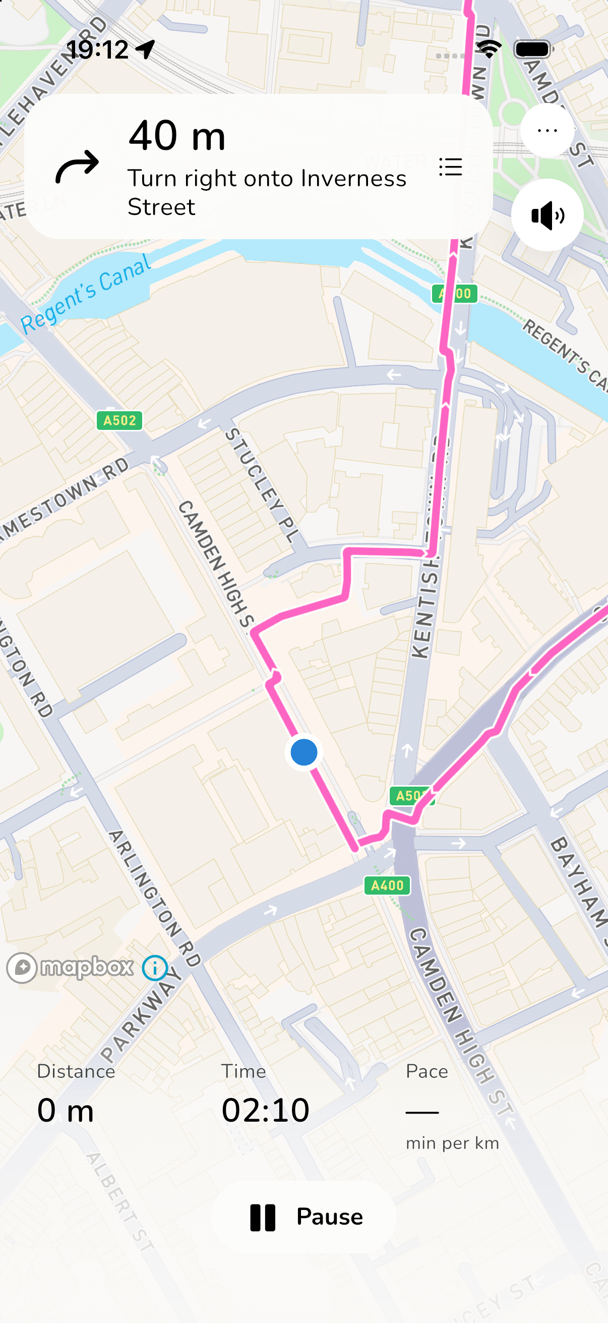
Find a new running route. Let spoken directions lead the way.



Break out of
your usual route.
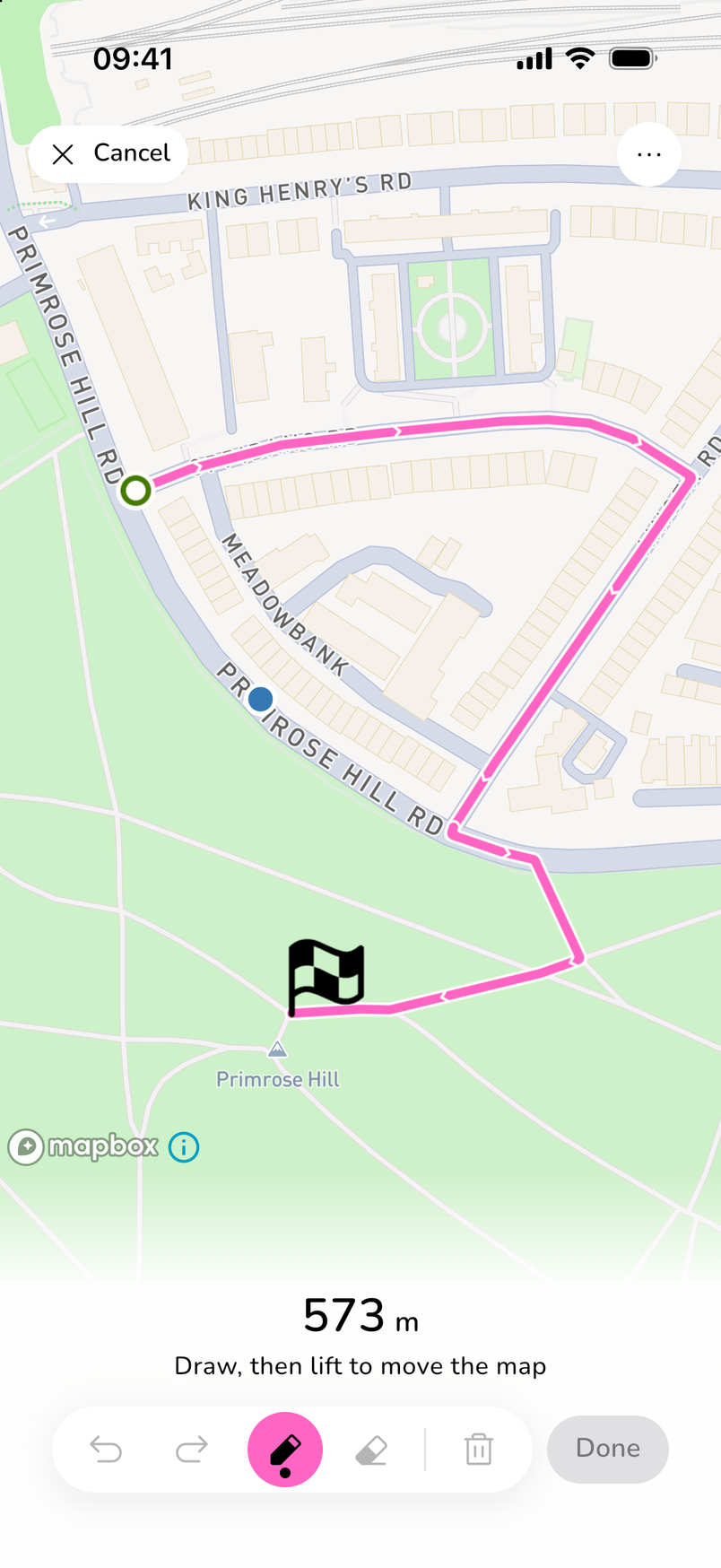
Draw a loop through the park, add a street you’ve been meaning to explore, or try a different way back.
Navistride turns your drawing into a running route along roads and paths. Change a section and see how the distance adds up before you head out.
- Draw your route
- Change a section
- Check distance
New running routes.
Less planning.
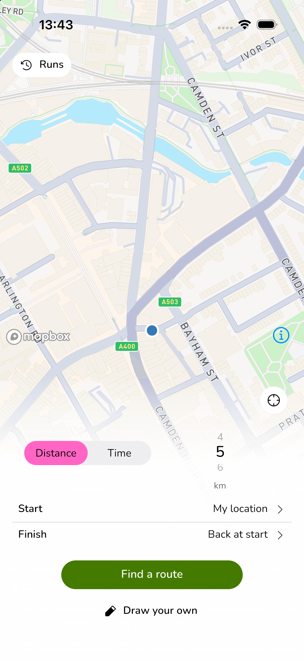
Whether you have 5 km in mind or 30 minutes to spare, Navistride suggests routes from your chosen starting point.
Your route.
Your pace.
Your kind of run.
No memorising street names.
No sticking to the same old loop.
Before you
head out.
Can I get a route back to my starting point?
Yes. Choose your starting point and a distance or time, and Navistride suggests loops that return you to the start. You can also choose a different place to finish.
Can I plan a run by time instead of distance?
Yes. Choose how long you want to run and your expected pace. Navistride uses those to estimate a suitable route distance. Your actual time depends on your pace, the route and any stops.
Can I draw my own route or change a suggestion?
Yes. Draw directly on the map, or edit a suggested route. Erase and redraw sections, and check the distance before you start.
Do I need to keep looking at my phone?
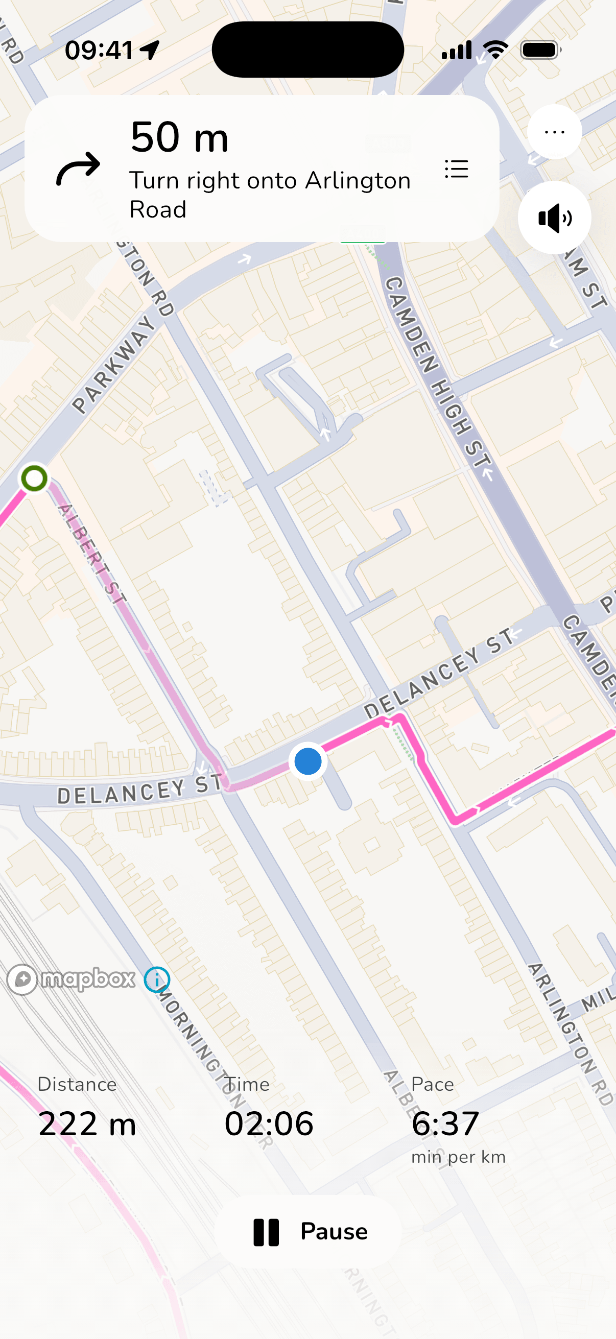
Spoken turn-by-turn directions help you follow your route without checking the map at every junction. The map and full directions are still there whenever you need them.
How much does Navistride cost?
Route planning is free, and your first run is on us. For more runs, choose a monthly or annual Navistride Premium plan. Current prices are available in the app.

Explore new routes
effortlessly.
Download Navistride. Your first run is on us.